Outer Circuit Section 1
Haddenham to Shabbington
6 miles (option 1) or 7.25 miles (option 2).
Start: Haddenham and Thame Parkway Station. 280 bus from Thame.
Point 1
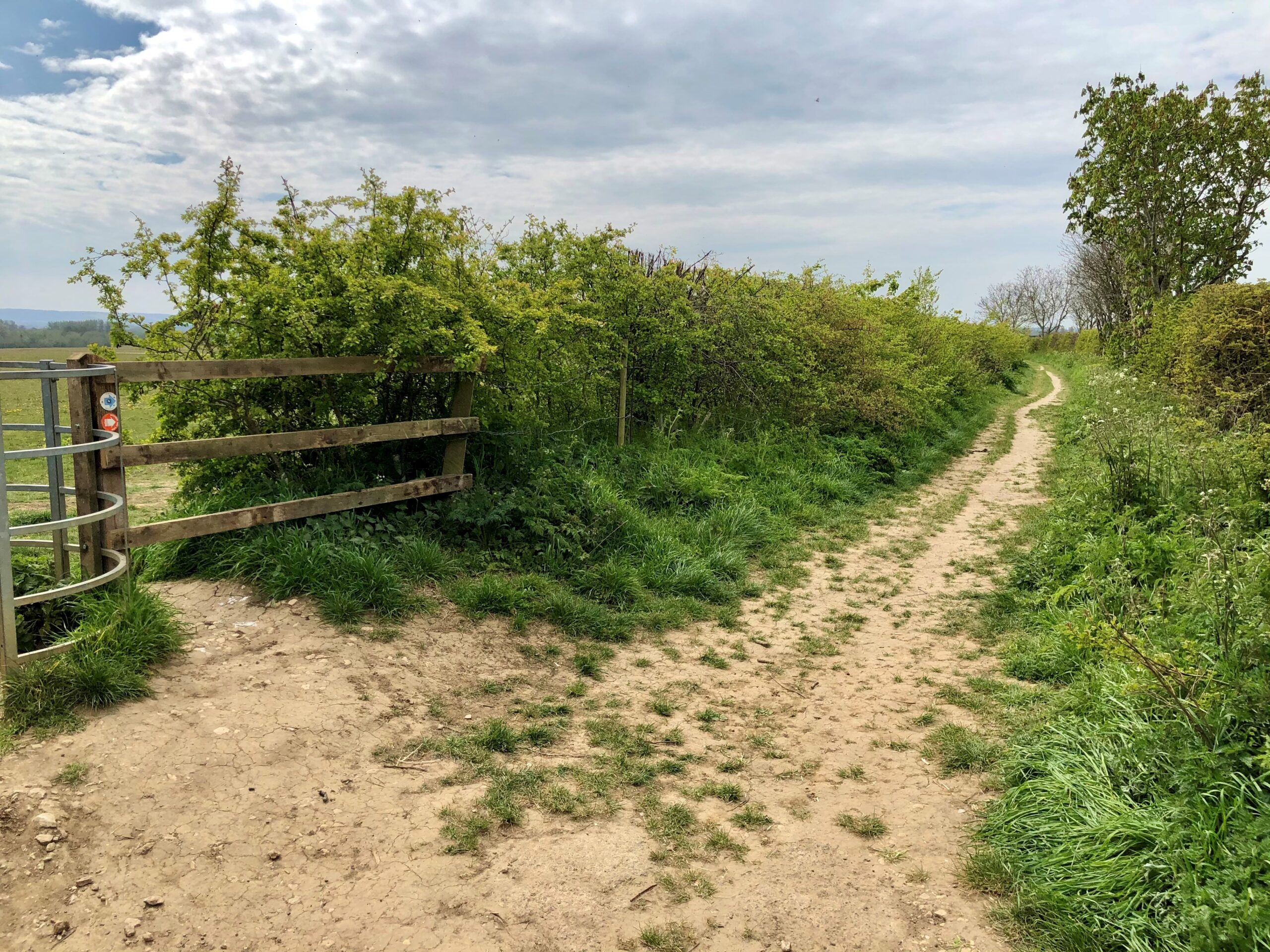
From the station car park entrance take the gravel path signposted Snakemoor Nature Reserve, to reach the Thame Road. Walk down the right side of the road and at a crossroad turn left and immediately right to go through a gap. Follow the bridleway straight ahead between hedges. At a large 4-way finger post (Linking Route 5 joins here) turn right, signposted Long Crendon, to cross a field. Just before reaching the road turn left to follow a path on the inside of the hedge. On reaching a gap in the hedge with a fingerpost turn right to cross the road to a well signed footpath opposite. Follow this across the field to reach a gap in a hedge and the busy Aylesbury Road.
Image courteousy of Doreen Rockall
Point 2
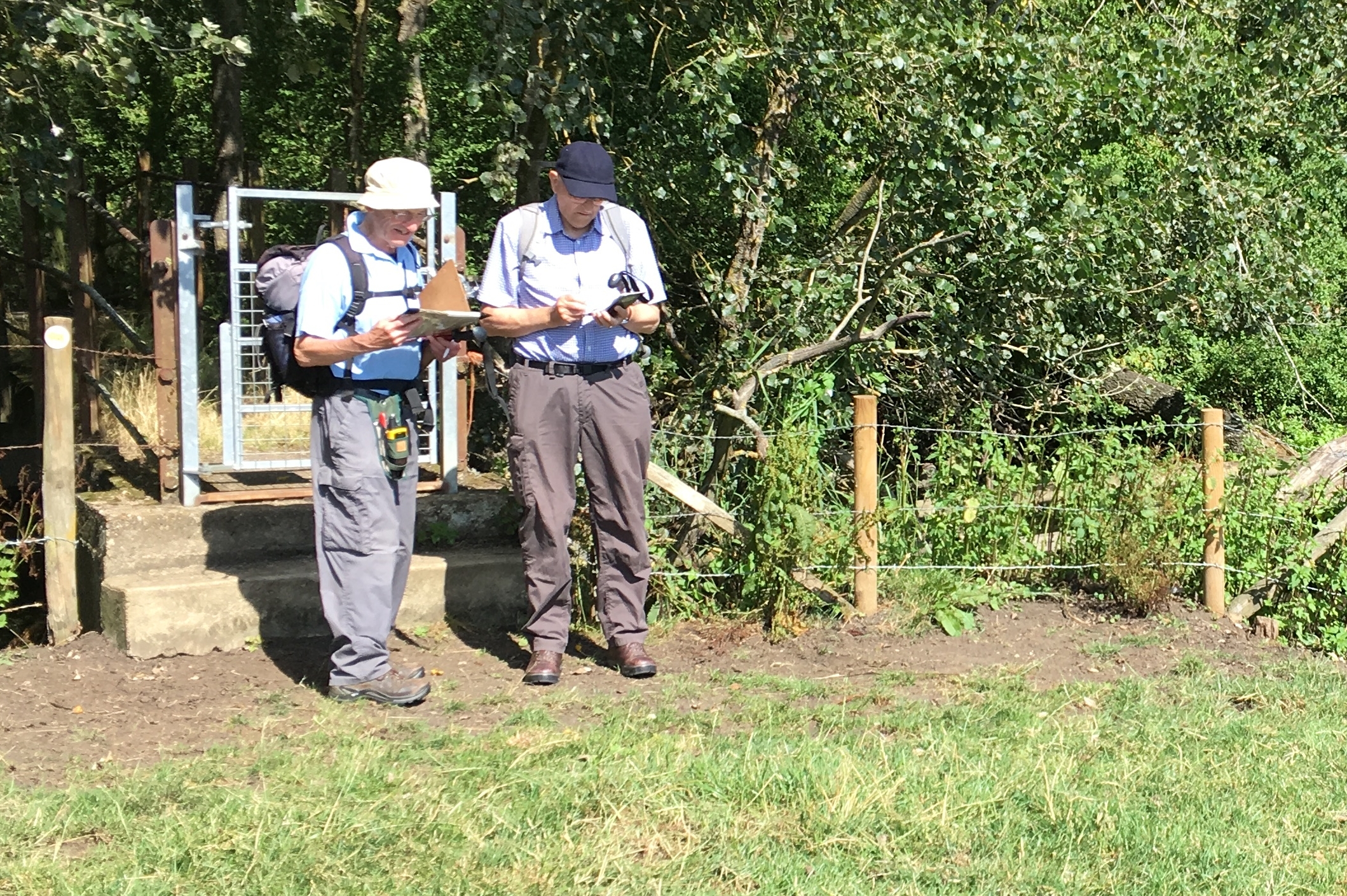
Cross the road to a gate opposite and follow the path downhill to a further gate. Go diagonally left to another gate and footbridge. Cross this, but note that the area beyond is liable to be flooded after heavy rain. Unfortunately there is no way around this at present. If OK, however, bear left to follow a raised embankment alongside the river and cross a concrete bridge on the right over the River Thame – the site of the old Notley Mill. Bear slightly right to go through a gate then diagonally left (almost due west) and take the path through a field in the direction of the houses of Long Crendon that can be seen on the hill.
Point 3
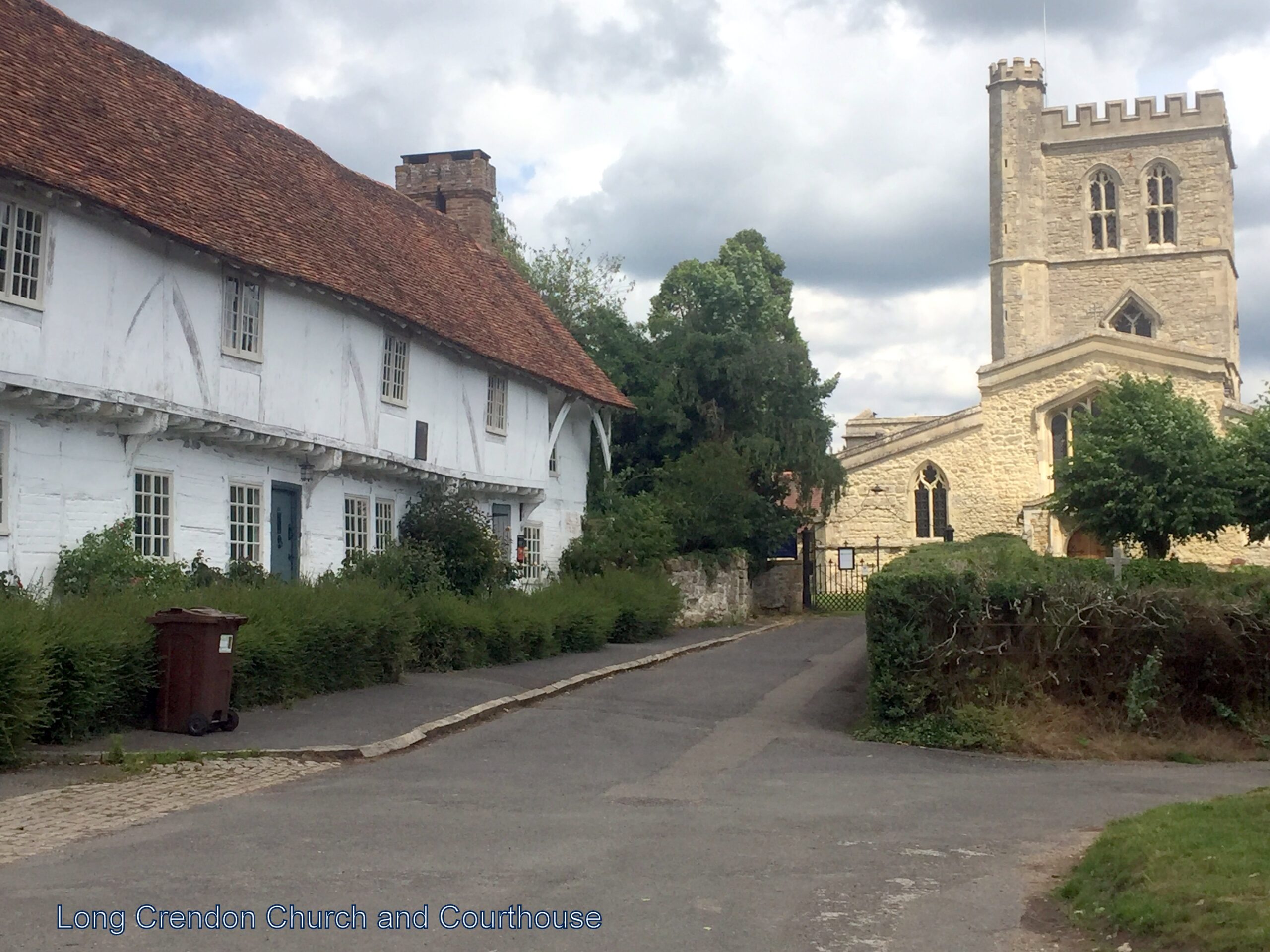
At the far side of the field cross a stile and footbridge, continuing straight on with a hedge on the right. Continue straight ahead on the path without deviation, latterly slightly uphill and along an enclosed path between fences, to reach a road. At a T-junction turn left by the 15th century Courthouse (NT) and nearby St Mary’s Church. Continue along Long Crendon High St to reach a main road (B4011). There are 2 options from here.
Option 1
Point 4
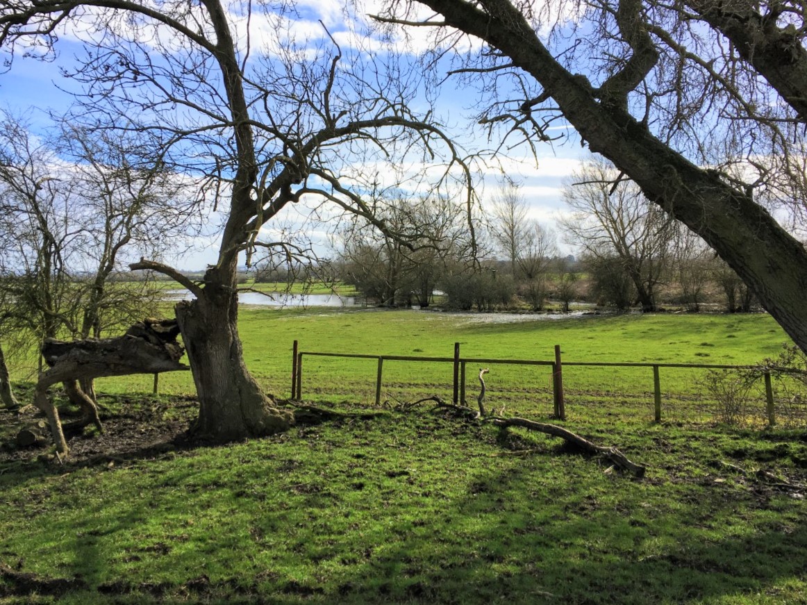
Cross the road (at a pedestrian crossing nearby) and continue in the same direction down Frogmore Lane, passing Long Crendon Manor on the left. At a T-junction turn left and continue on Long Crendon Road for nearly a mile, passing the first Thame Valley Walk (TVW) sign on the left (Linking Route 1 joins here). Continue on the road to the next footpath sign on the left, just beyond where the road bends to the right. Go through the pedestrian gate, following this TVW sign diagonally right to cross the field to a footbridge and a waymarked stile in a gap in the hedge. Cross this and turn right to head for a further stile and footbridge to the right of 2 trees.
Point 5
Follow the left side of the next field for some distance to find a (broken) stile in the far left corner of the field. Cross this to follow a reasonably clear path through scrub to reach, in the bottom left corner, a footbridge and gate. Go through the gate into a field and continue to another gate, keeping a fence on your right. Then follow written footpath signs in a generally straight line towards a church across several small fields, separated by barriers opened by removing the central pole, to reach a gate to the road opposite Shabbington church. Turn left for about 300 yards along the road to the Old Fisherman pub.
Option 2
This is 1.25 miles longer than Option 1 but avoids over a mile of road walking.
Point A
Cross the main road and turn right. Continue on the main Bicester road (B4011) through the village. As the road bends to the left, continue for a short distance until reaching a side road, signposted “Westfield only”.
Point B
Take this road and continue along it for ½ mile or so passing a sign to Bailey’s Farm on the right. Soon after this, where the road bends to the right, take the footpath on the left and immediately go right to follow a footpath sign between a hedge and a fence to reach a stile. Cross this and turn right and left to follow the right side of a field. Continue straight ahead on the right side of the second field. Ignore the crossing footpath, then, just before the end of the third field turn left along a footpath across the field, following a somewhat hidden waymark in the hedge.
Point C
These fields can be muddy. Go through a gap in the hedge and continue straight ahead across the next field to another gap. Through this and straight ahead to another gap. Then turn right and almost immediately take the left fork of two grassy paths, keeping the hedge on the left.
Point D
At a gate in the corner of the field go straight ahead on the left side of the next field to another gate to cross a track to yet another gate. Go straight ahead to the far left corner of the next field to a kissing gate. Go through the gate and follow the narrow path ahead between hedges. At the end of the path go straight across the field ahead to cross a stile alongside a gate to arrive at a road.
Point E
Turn right onto the road and follow it around to the left, ignoring side roads, for 350 yards to a T- junction. Bear left here to follow the road for 400 yards to the Old Fisherman pub.

Point 6
Now follow the road to the left to cross several bridges and past a signpost for the Thame Valley Walk on the right (Section 2 starts from here). Continue on the road for about two thirds of a mile to reach a main road (A418). Just to the right is a bus stop from which you can get a 280 bus back to Thame.
